Written By: Dixie Sommers & Austin Kane
The Commonwealth of Virginia lies in the middle of the United States Atlantic coast and intersects six North American physiographic regions, areas defined by factors such as topography, elevation, and geomorphology. This results in a diverse array of climatic conditions, geological features, and habitats (VDCR 2021). Collectively, these variations in geography and climate support a rich diversity of bird species across the state, with aquatic and terrestrial ecosystems providing important habitat for foraging, breeding, and raising young.
The state is made up of 95 counties and 38 independent cities (Figure 1).
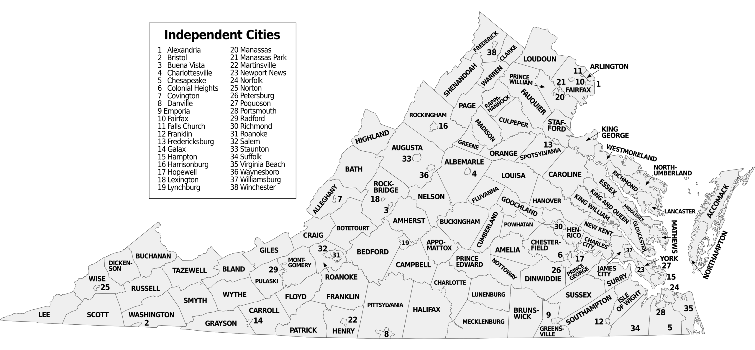
Figure 1. Virginia counties and independent cities. (Lasunncty at English Wikipedia, CC BY-SA 3.0 https://creativecommons.org/licenses/by-sa/3.0, via Wikimedia Commons)
Geography
Virginia’s Second Breeding Bird Atlas (Second Atlas) presents information on bird distribution and abundance by physiographic region to broadly summarize where on the landscape and in what habitats Virginia’s breeding birds occur. Within each physiographic region, habitats are categorized based on the National Land Cover Database classifications because these data were used for all Second Atlas modeling (see Virginia Habitats).
Although portions of six physiographic regions occur within Virginia, the Atlas combines the four that are found in the west (Blue Ridge Mountains, Northern Ridge and Valley, Northern Cumberland Mountains, and Southern Cumberland Mountains) into the larger Mountains and Valleys region (Figure 2). Together with the Piedmont and Coastal Plain, it is one of three major physiographic regions for which we present information on bird distribution and abundance in the Species Accounts. This categorization is consistent with how we modeled bird distribution and abundance for the Atlas, as numerous Virginia breeders found only in the western part of the state occur across a broad area of the Mountains and Valleys region. Each of the three regions in the Atlas is described below.
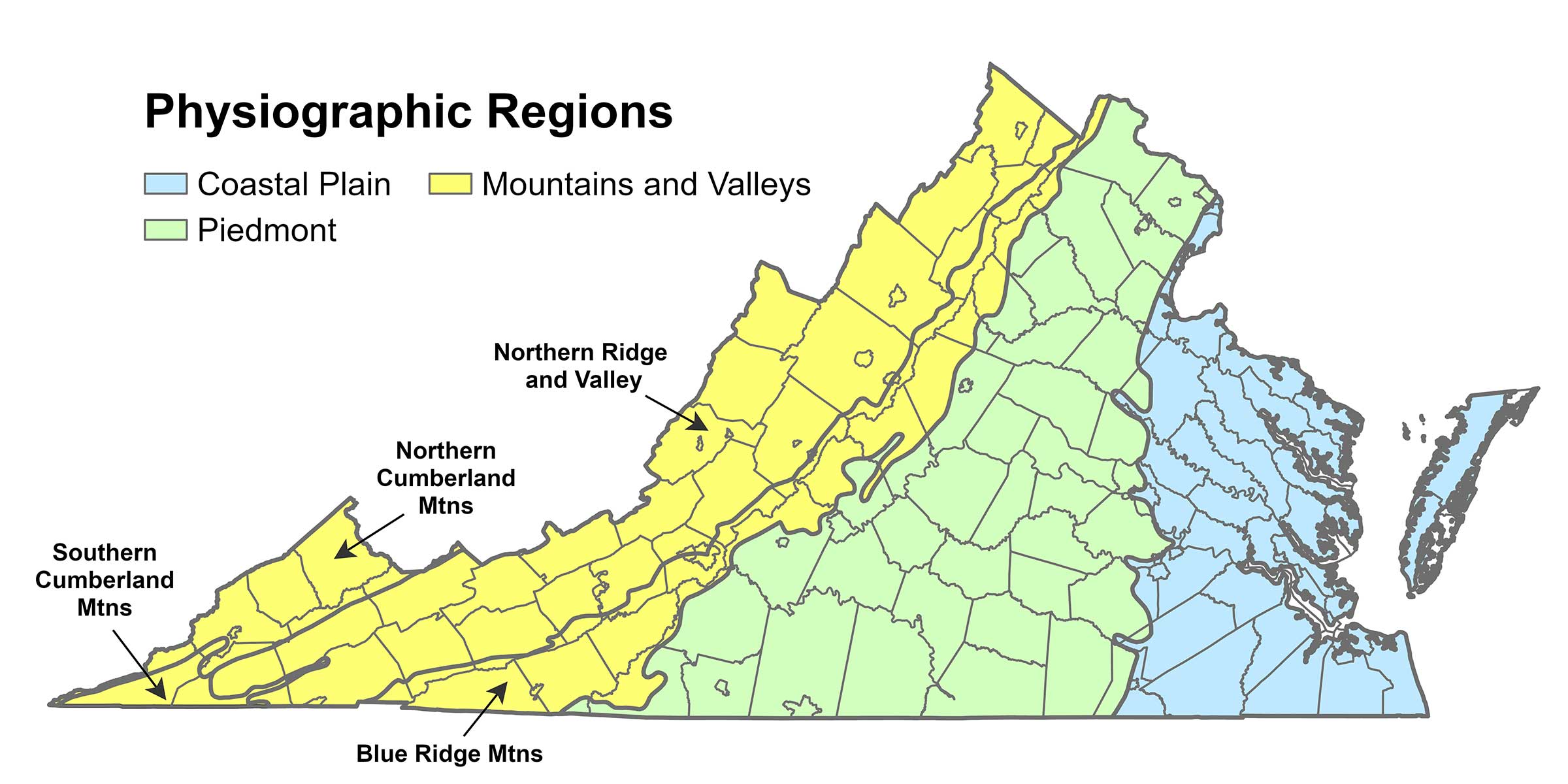
Figure 2. Physiographic region groupings in the Second Atlas.
Mountains and Valleys Region
The two Cumberland Mountains regions are characterized by close mountains and deep, narrow valleys with elevations of 4,000 ft (1,219 m) and above. The Blue Ridge Mountains span the state from north to southwest; with wide-ranging elevation and geology, this subregion contains fertile soil with diverse vegetation.
The Northern Ridge and Valley region accounts for the largest portion of the Mountains and Valleys region. The mountains in this region are longer and parallel with varying valley sizes. On the western edge of the region, the average peak elevation is 3,500 ft (1,067 m); however, some peaks are 4,000 ft (1,219 m) or higher. The valley portion of the region is the “Great Valley” of Virginia, including to the north the Shenandoah Valley and, going south, the drainages of the James, Roanoke, New, and Holston Rivers (VDCR 2021).
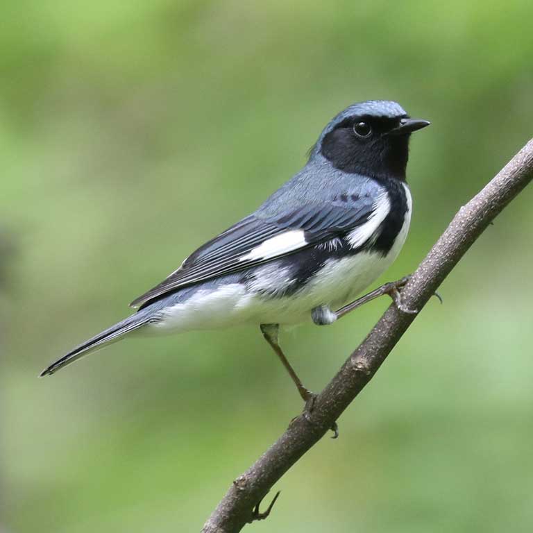
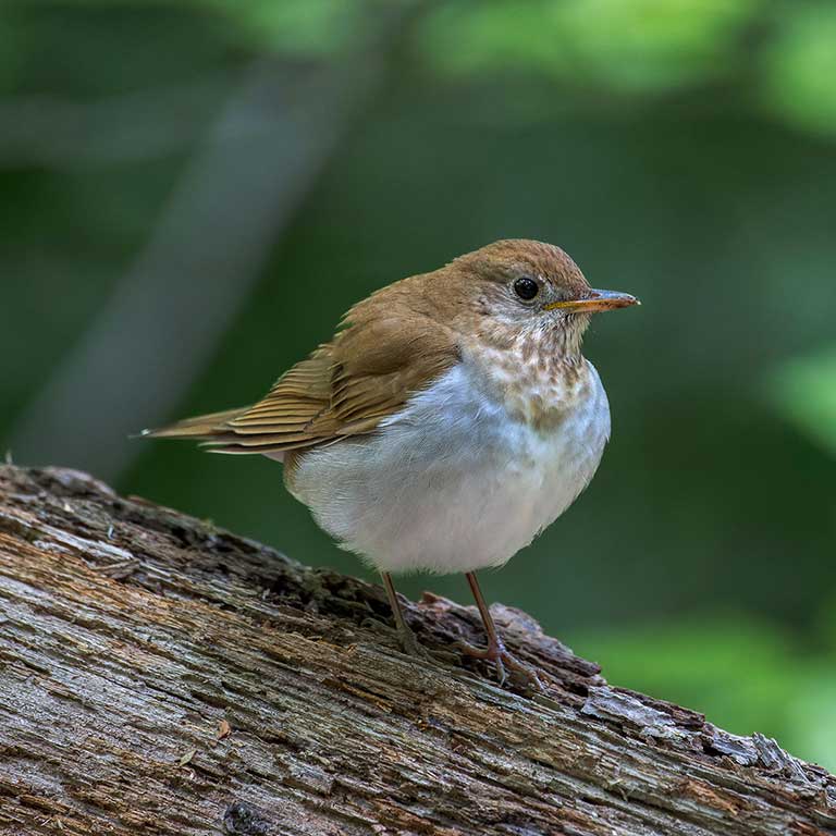
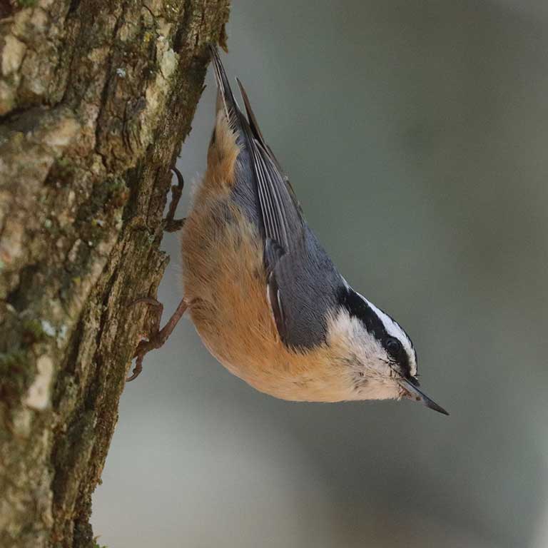
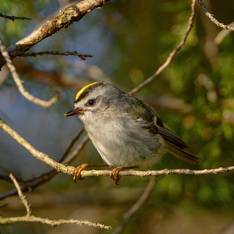
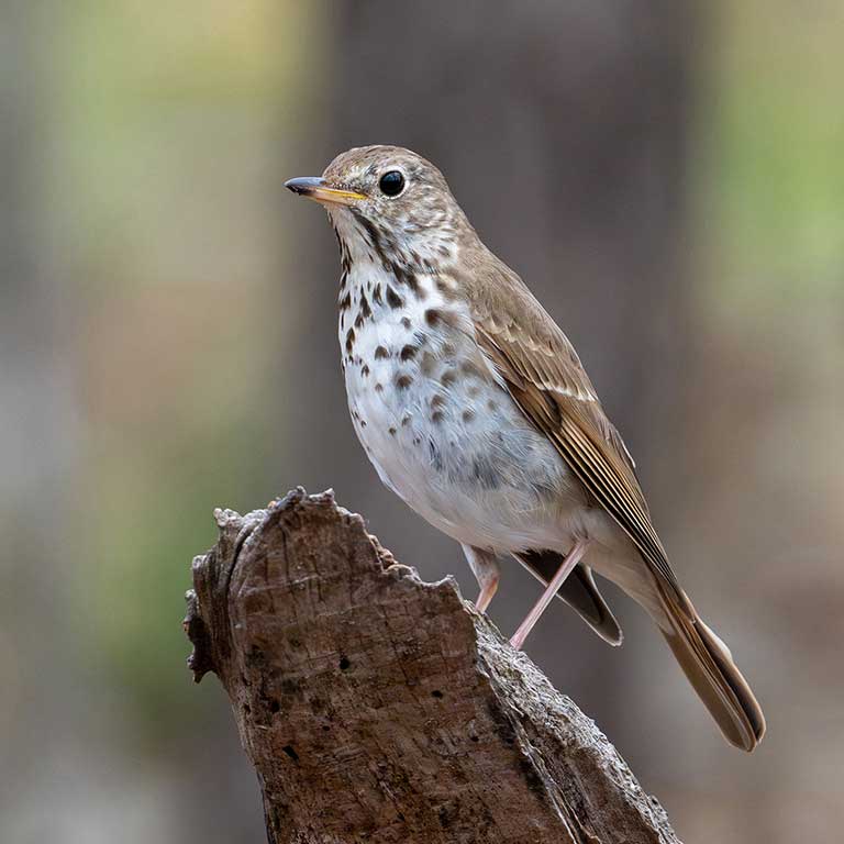
From spruce-fir forests to mixed hardwood to agricultural valleys, the Mountains and Valleys region hosts many species that breed primarily or exclusively in the region, such as Black-throated Blue Warbler (Setophaga caerulescens), Veery (Catharus fuscescens), and Red-breasted Nuthatch (Sitta canadensis). In the cooler, more mountainous areas, the high elevations and coniferous forests provide a breeding home for species such as Golden-crowned Kinglet (Regulus satrapa), and Hermit Thrush (Catharus guttatus).
The Mountains and Valleys region includes small urban areas, limiting the relative amount of developed land cover. The most populous urban areas in the region are Blacksburg, Harrisonburg, and Roanoke.
Piedmont Region
Located in central Virginia, the Piedmont region is characterized by rolling hills, extensive rivers and streams, and fertile soils. It decreases in elevation as it extends from the foothills of the Blue Ridge Mountains in the west toward the Fall Line, an escarpment that marks the Piedmont’s boundary with the Coastal Plain region in the east. The Fall Line is approximated by Interstate 95.
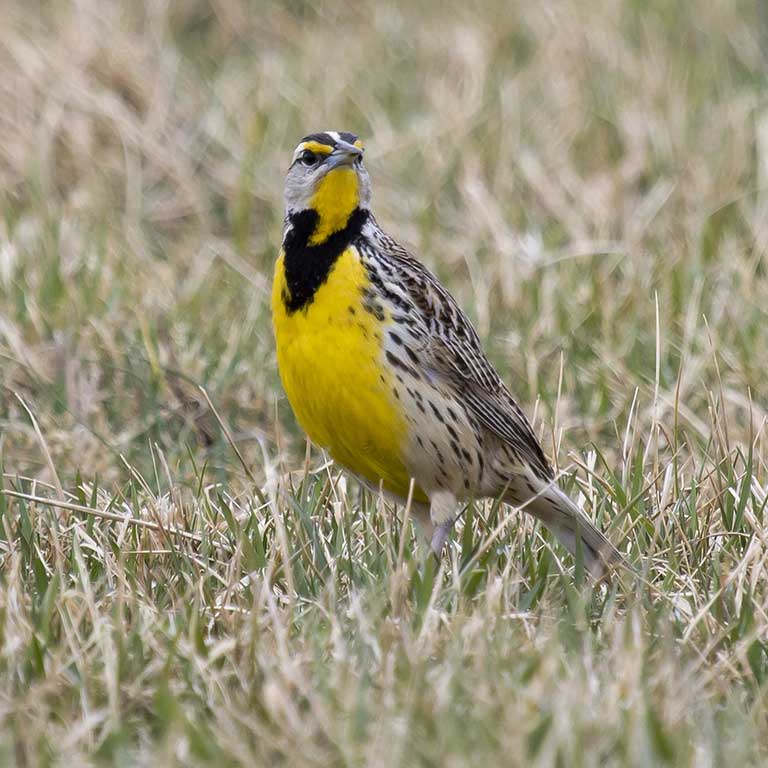
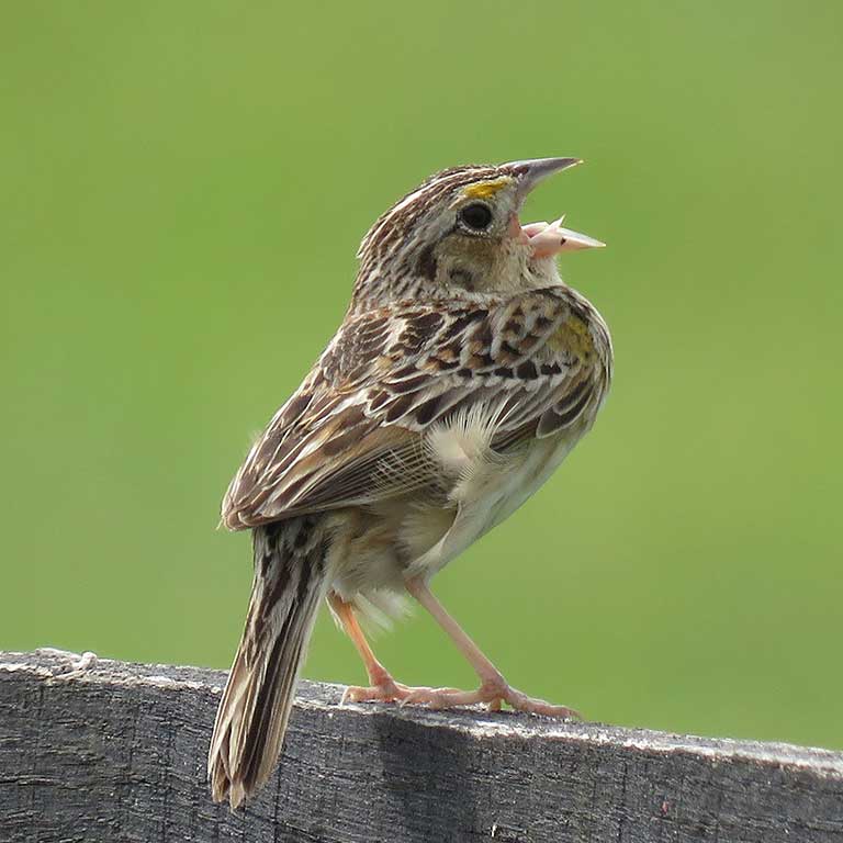
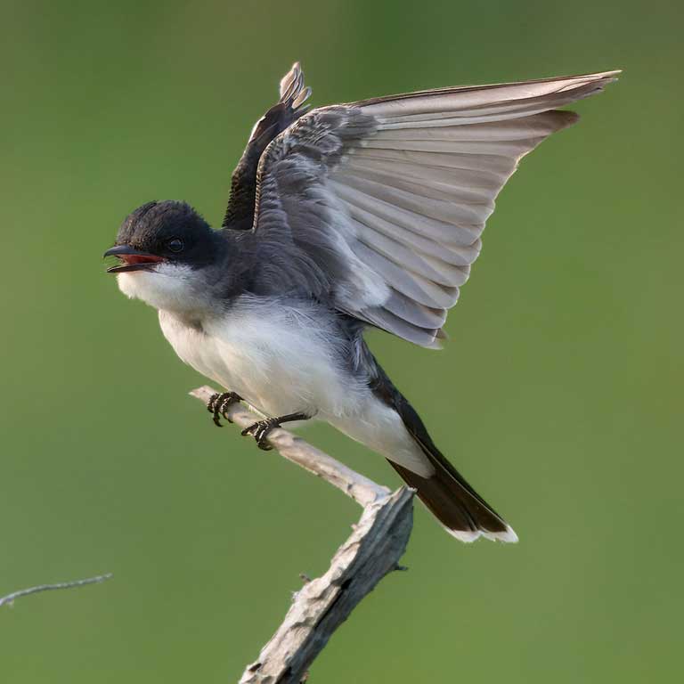
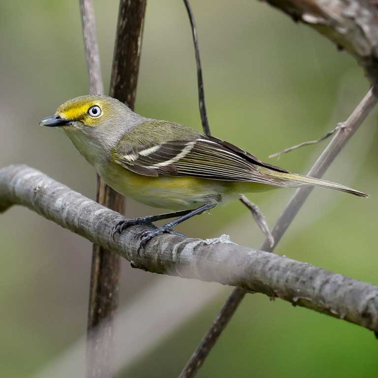
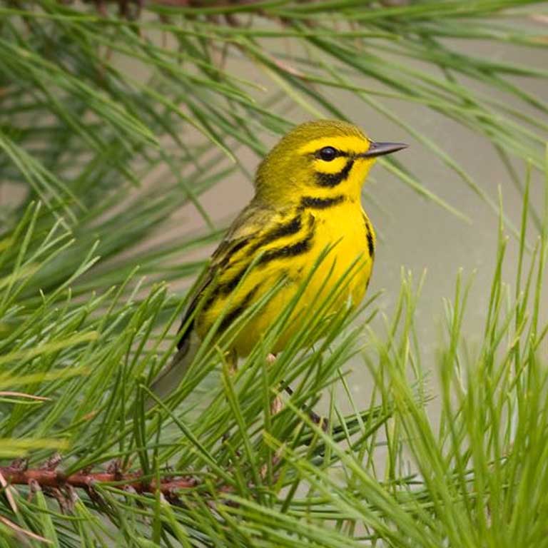
A range of habitats covers this region, from hardwood and coniferous forests to agricultural lands that include pastures and hayfields. Extensive riparian areas along rivers and streams also provide important wetland habitat for many bird species. Thus, the region is home to a diverse range of species and a stronghold for grassland breeders like Eastern Meadowlark (Sturnella magna) and Grasshopper Sparrow (Ammodramus savannarum) and shrubland birds like Eastern Kingbird (Tyrannus tyrannus), White-eyed Vireo (Vireo griseus), and Prairie Warbler (Setophaga discolor).
The Piedmont region includes much of the Virginia portion of the Washington, D.C. metropolitan area (also referred to as Northern Virginia), where the relative amount of developed land cover is quite high, with military bases, Dulles International Airport, industrial data centers, and extensive residential and commercial development. The Fall Line bifurcates the city of Richmond, with the western portion included in the Piedmont. Other urban areas in the region are smaller, including Charlottesville, Danville, and Lynchburg.
Coastal Plain Region
The Coastal Plain stretches east from the Fall Line, where it reaches its highest western elevation of 250 ft (76 m), to the Atlantic Ocean. A major feature of this region is the Chesapeake Bay, the largest estuary in the United States, as well as its four major tributaries, which support expansive tidal marshes and swamps. These tributaries define three main peninsulas on the western shore of the Bay: the Northern Neck (between the Potomac and Rappahannock Rivers), the Middle Peninsula (between the Rappahannock and York Rivers), and the Lower Peninsula (between the York and James Rivers).
The southeastern Coastal Plain includes Back Bay and the Northwest and North Landing Rivers, which form the northern waters of Currituck Sound (VDWR 2025). Further inland, a prominent ecological feature of this area is the Great Dismal Swamp, an extensive 113,000 acre (45,730 ha) forested wetland that contains Lake Drummond, one of only two natural lakes in Virginia (the other is Mountain Lake in the Mountains and Valleys region) (VDWR 2025).
Finally, to the east, the Coastal Plain includes the Eastern Shore, the southern portion of the Delmarva Peninsula dividing the Chesapeake Bay from the Atlantic Ocean. The Eastern Shore’s barrier islands and extensive marshes and bays are home to many breeding shorebirds, marsh birds, and colonial water birds. Small towns and agricultural fields dominate the area between ocean and the Chesapeake Bay.
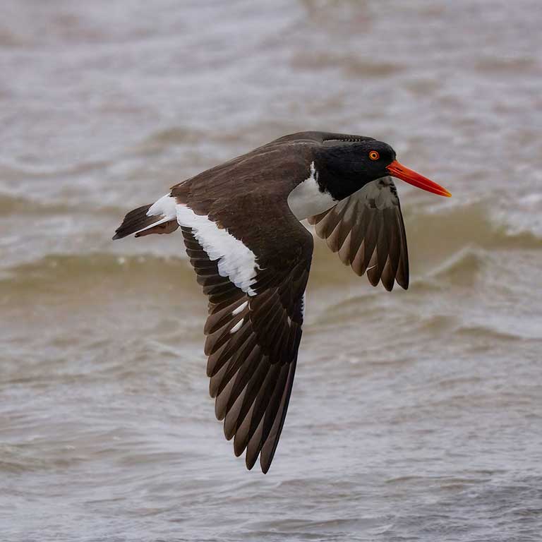
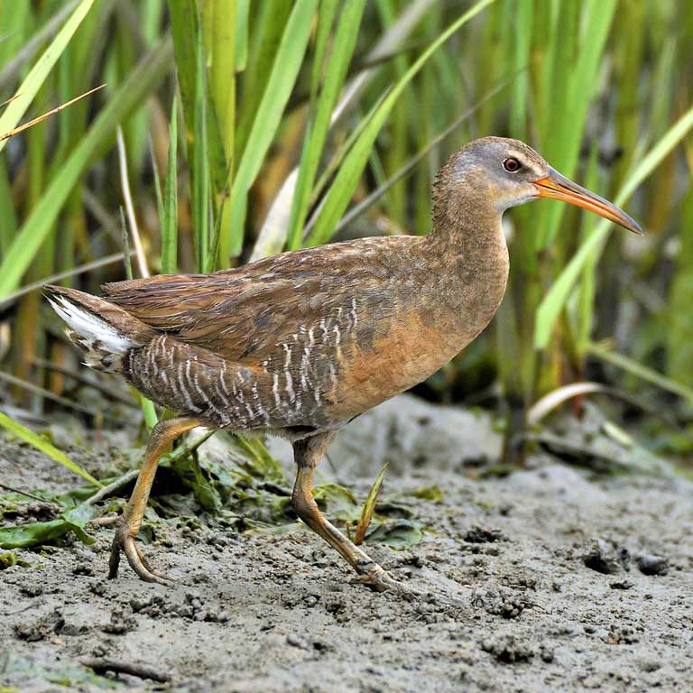
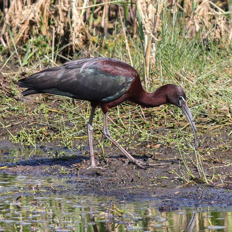
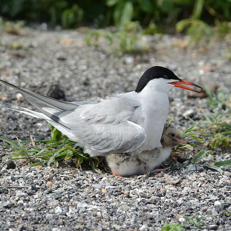
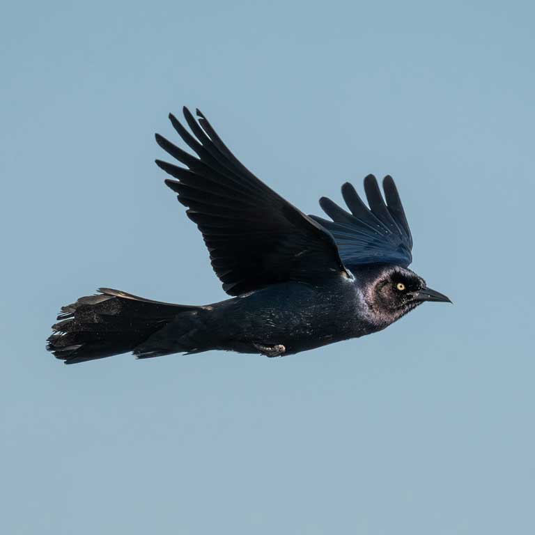
The diversity of breeding birds supported by the forests that make up nearly 50% of the Coastal Plain (VDCR 2021) is greatly enhanced by the assemblages of shorebirds, marsh birds, and colonial waterbirds inhabiting its coastal areas. Many of these species are unique to this region of Virginia, including American Oystercatcher (Haematopus palliatus), Clapper Rail (Rallus crepitans), Glossy Ibis (Plegadis falcinellus), Common Tern (Sterna hirundo), and Boat-tailed Grackle (Quiscalus major).
The Coastal Plain has a large share of Virginia’s developed land cover. In the southeast, this includes the residential and commercial areas of Hampton Roads, Newport News, Norfolk, Portsmouth, and Virginia Beach. The northern Coastal Plain includes a portion of the Washington metropolitan area, encompassing parts of the city of Alexandria and Arlington, Fairfax, Prince William, Stafford, and Spotsylvania Counties (U.S. Census Bureau). The portion of the city of Richmond east of the Fall Line is also included in the Coastal Plain.
Climate
Generally, Virginia has warm and humid summers and relatively cold winters and is classified as having a humid subtropical climate (Woodward and Hoffman 1991). However, there is substantial variation among the regions of the state (VDWR 2025).
Temperature
The average annual maximum temperature in Virginia ranged from 64.6 °F to 69.1 °F (18.1 – 20.6 °C) for the 30-year period 1996-2025, while the average annual minimum temperature ranged from 43.3 °F to 47.1 °F (6.3 – 8.4 °C) over the same period (NOAA 2026a). These temperatures are influenced by Virginia’s mid-latitude position, but there is a large range around these values depending on where one is in the state.
Summers are more temperate in the higher elevation western mountainous part of the state and warmer in the low elevation Coastal Plain where ocean forces moderate temperatures (VDCR 2021). In the winter, it is colder in the Mountains and Valleys region, especially at higher elevations, and more temperate along the coast. The Coastal Plain region’s average annual maximum temperature is about 5 °F (2.8 °C) warmer than in the Mountains and Valley region (NOAA).
Precipitation and Extreme Events
Virgina’s mountains and rivers and its proximity to the ocean influence precipitation. The state received annual average precipitation of 45.8 in (116 cm) during the 30-year period 1996-2025. The annual average varied greatly across the period, from 34.9 in (89 cm) in a drought year of 2001 to 63.5 in (161 cm) in 2018. Within the state, annual average precipitation varied for the same period, ranging from 42.2 in (107 cm) in Northern Virginia to 48.0 in (122 cm) in the Coastal Plain. (NOAA 2026a)
Virginia’s mid-Atlantic position and its extremes of elevation contribute to flooding as well as drought, affecting regions of the state in different ways.
Virginia experiences hurricanes on average once every 2.3 years (Roth and Cobb 2001), with rainfall being the most important effect. Most such storms move from southwest to northeast across the state. When they reach the western mountain ranges, air is forced upward where it cools and generates rain, sometimes resulting in flash floods and landslides. Such events can be devastating, as seen in Hurricane Helene in 2024 (NOAA 2026b). Storms tracking from the south may result in heavy rain and flooding on the Coastal Plain (Roth and Cobb 2001).
Regardless of the region, the potential for flooding is higher where impervious surfaces and industrial farming practices have reduced the ability of soils to absorb excess water (VDWR 2025). Sea level rise (VIMS) and the sinking of surface lands and marshes through subsidence (U.S. Geological Survey 2025) also contribute to flooding, especially in areas surrounding the Chesapeake Bay as well as along estuaries of the James, York, Rappahannock, and Potomac Rivers.
At the opposite extreme, drought can affect any part of the state but is more likely in valleys that are in the rain shadow of mountain ranges. For example, the Shenandoah and New River valleys lie between the Blue Ridge and the Allegheny Mountains and are in the rain shadow of both ranges for the more prevalent westerly and southwesterly weather systems as well as for less frequent systems coming from the east (VDWR 2025). Timbering and farming practices and impervious surface have disrupted evaporation and transpiration processes, contributing to drought as well as flooding (VDWR 2025).
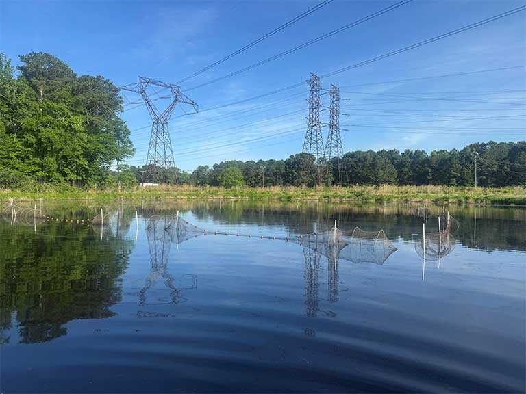
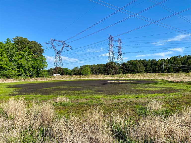
The differences in temperature and precipitation contribute to a vast range of habitat types in the state, from boreal and sub-boreal forests at high elevations in the west to salt marshes and mudflats along the coast. Some birds breed only in high-elevation forests or small areas of pine savanna, while others are widespread across the state, equally likely to be found in a backyard as in a forest. Some breeding birds depend on vegetation that occurs along rivers and streams, while others depend on grasslands.
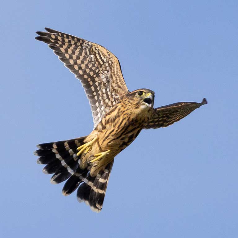
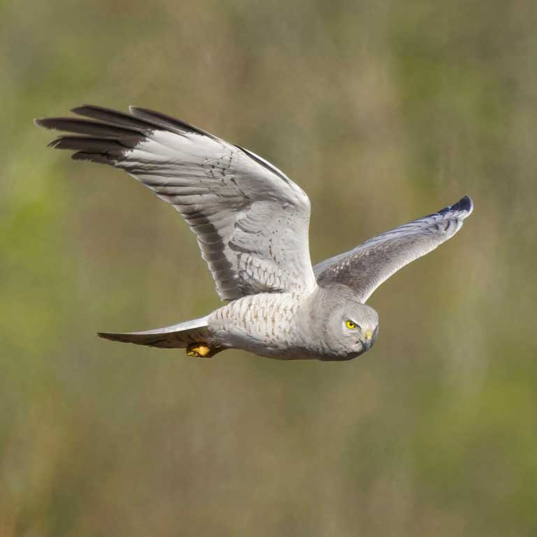
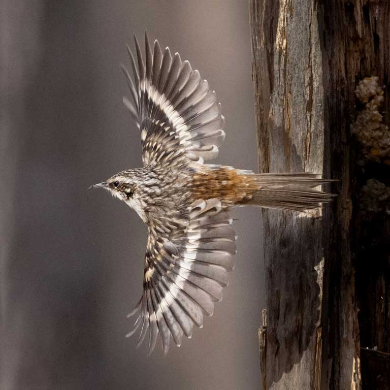
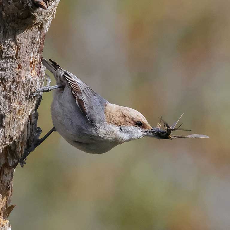
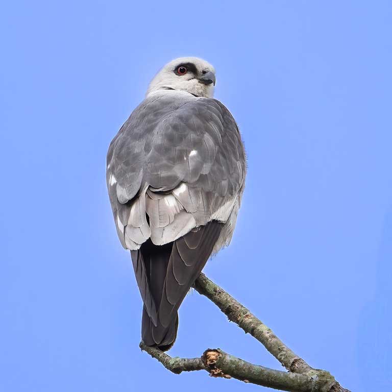
Virginia’s assortment of habitats, climatic conditions and position along the Atlantic coast contribute to a high diversity of bird species in the Commonwealth. The breeding ranges of many species with more northerly and southerly distributions in fact converge in Virginia. This includes northern breeders like Merlin (Falco columbarius), Northern Harrier (Circus hudsonius), and Brown Creeper (Certhia americana) and southern breeders like Red-cockaded Woodpecker (Dryobates borealis), Brown-headed Nuthatch (Sitta pusilla), and Mississippi Kite (Ictinia mississippiensis).
Literature Cited
National Oceanic and Atmospheric Administration (NOAA) (2026a) National Centers for Environmental Information. Climate at a Glance, published March 2026, retrieved on April 7 and June 5, 2026, from https://www.ncei.noaa.gov/access/monitoring/climate-at-a-glance/
National Oceanic and Atmospheric Administration (NOAA) (2026b) National Weather Service. National Hurricane Center Tropical Cyclone Report – Hurricane Helene (AL092024). Published February 17, 2026, retrieved June 4, 2026, from https://www.nhc.noaa.gov/data/tcr/AL092024_Helene.pdf
Roth, D. and H. Cobb (2001). Climatology of Tropical Cyclones in Virginia. National Oceanic and Atmospheric Administration (NOAA) Weather Prediction Center. Retrieved on May 19, 2026, from https://www.wpc.ncep.noaa.gov/research/roth/vaclimohur.htm
Virginia Department of Conservation and Recreation (VDCR) (2021). Division of Natural Heritage, Overview of the Physiography and Vegetation of Virginia, Ver. 2.0, March 2021. 57 pp.
Virginia Department of Wildlife Resources (VDWR) (2025). Virginia Wildlife Action Plan. Virginia Department of Wildlife Resources, Henrico, VA, USA. 506 pp.
Virginia Institute of Marine Sciences (VIMS), Center for Coastal Resources Management, Sea Level Rise Planning Maps, https://www.vims.edu/ccrm/research/climate_change/impacts/maps/
U.S. Census Bureau. Metropolitan and Micropolitan Statistical Area Delineation Files, July 2023. https://www.census.gov/geographies/reference-files/time-series/demo/metro-micro/delineation-files.html, referenced April 7, 2026.
U.S. Geological Survey, Virginia and West Virginia Science Center. Land Motion and Subsidence on the Virginia Coastal Plain, published December 8, 2025, retrieved on June 4, 2026, from https://storymaps.arcgis.com/stories/b342b326b7b749539b5b4dabac42c841
Woodward, S.L. and R. L. Hoffman (1991). The nature of Virginia. Pages 23-50 in: McDonald, J.N. and T. Skware, eds. Virginia’s endangered species: proceedings of a symposium, coord. by Karen Terwilliger. The MacDonald and Woodward Publishing Co., Blacksburg.