Virginia’s Second Atlas represents an extensive compilation and analysis of breeding bird data collected by volunteers and field technicians. It includes information on species’ distributions, breeding evidence, population status, and conservation as well as interactive maps for 203 breeding birds in the state. The accompanying data products (maps and figures) can be downloaded and used for a broad range of avian conservation purposes.
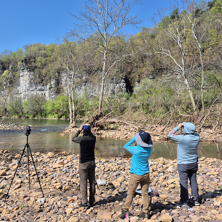
We wish to further heighten the Atlas’ ultimate conservation potential by appealing to individual researchers and institutions who may have novel ideas of ways to use and analyze raw data from the Atlas. If you have a research question in mind that could be answered using Atlas data or wish to obtain spatial files of the data displayed in the Atlas maps for conservation purposes, we invite you to contact us so that we may evaluate your request.
We also would like to hear about how you are using or are planning to use Atlas data in your research efforts and any published studies based on Atlas data. Sharing information and collaborating are the best ways to make broad use of Atlas data and products.
Below, we suggest research questions/applications that could be pursued using Atlas data and catalogue research and conservation applications that have or are utilizing Atlas data and/or products.
Suggested Conservation and Research Applications of Atlas Data
- Use Atlas data to investigate potential changes in species breeding phenology between Atlases.
- Use Atlas data to conduct an in-depth evaluation of spring arrival times of migrant species, as accurate assessments and even accurate date ranges are currently scarce.
- Develop species-specific sets of variables to further explore the habitat relationships and potential causes behind shifting distributions. Specific satellite-imagery based metrics of vegetation structure and composition could be developed that align with each species’ biology.
- Compare species distribution maps to maps of changes in climate variables to identify what factors have contributed to changes in the breeding distributions of specific species or suites of species between Atlases.
- Use Atlas data to identify geographic areas of high conservation value based on spatial overlap among priority species, and to develop management recommendations for those areas.
- Utilize Atlas data for more complex spatial modeling for specific species.
Current Conservation and Research Utilizing Atlas Data
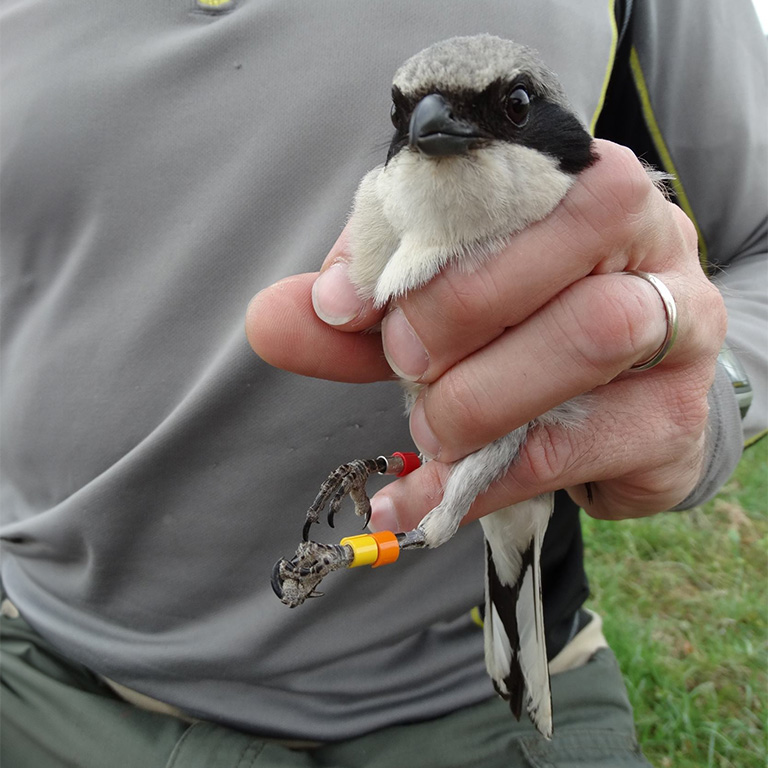
- Species of Greatest Conservation Need: The Virginia Department of Wildlife Resources used Atlas bird species data in developing its list of avian Species of Greatest Conservation Need for the third iteration of the Virginia Wildlife Action Plan (2025). These are the priority species that will be the focus of DWR’s efforts as the Agency and its partners seek to improve the status of their populations in the Commonwealth over the next 10 years.
- Forests for Birds and People: The Appalachian Mountains Joint Venture and the University of Maryland Center for Environmental Studies are coordinating the development of a holistic forest management plan for a large region surrounding Lexington, Virginia, by coupling local expertise and community needs with scientific data. Atlas data are being used to develop models that identify key relationships between forest structure and use by birds during migration and breeding. These will be incorporated into the plan, which aims to create habitat that balances the needs of birds with priorities identified by local land managers, landowners, and other community members. Learn more here.